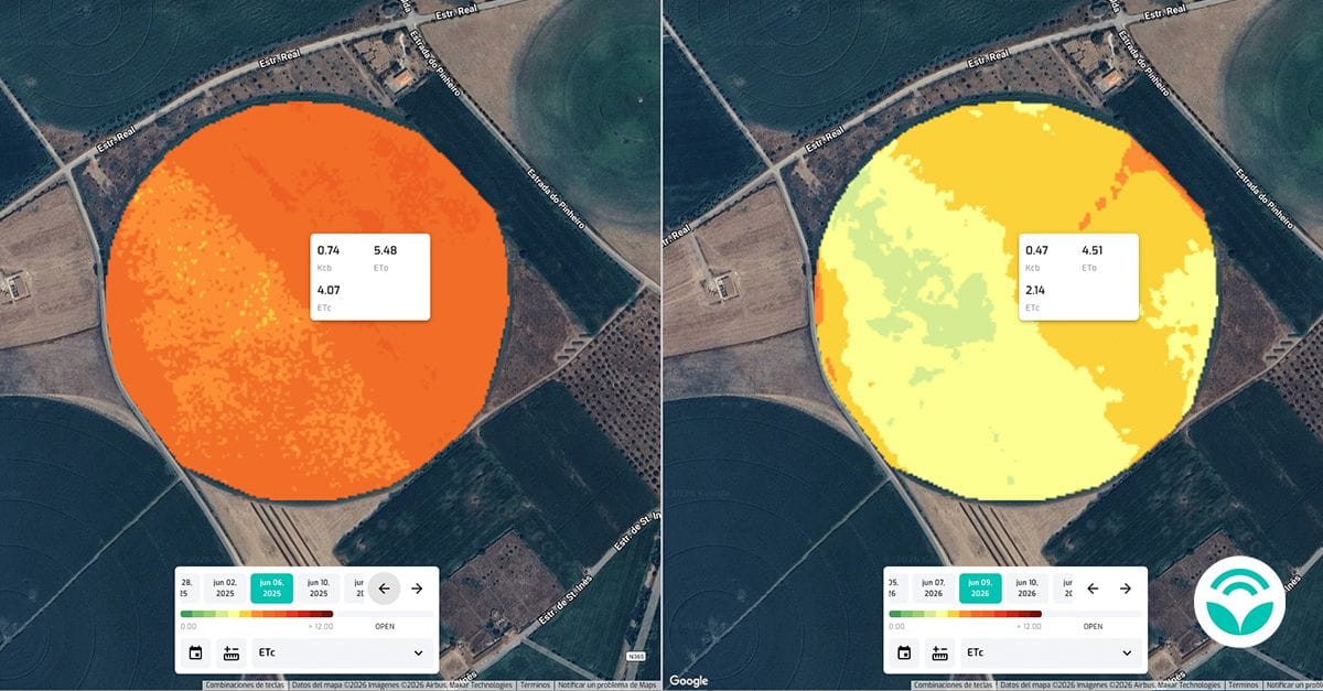
Satellites already observe fields at a frequency and scale that would be difficult to achieve with in-person visits alone. They capture signals related to vegetative vigor, water, development and changes in the plot. The question is no longer whether there is information but how to use it at the right time.
Seeing more is not the same as deciding better
An image or an index is not, in itself, an agronomic recommendation. It is a signal that needs context: crop, variety, cycle phase, soil, watering, recent operations and weather conditions. A change in color can indicate stress, but also a natural difference in soil or an operation that has just taken place.
The value of remote sensing comes when the signal is compared with other sources. Sensors on the ground, meteorological information, plot maps and operations records make it possible to confirm hypotheses and reduce the distance between what the algorithm identifies and what the farmer finds in the field.
From map to action
Monitoring can support a targeted visit to areas that need attention, the review of an irrigation strategy, the prioritization of an intervention or the early identification of an anomaly. Instead of treating the entire tranche as uniform, the team is able to focus time and resources where the likelihood of benefit is greatest.
This requires simple flows. If the data arrives late, without historical comparison or without connection to daily tasks, it ends up being another panel to consult. Technology should reduce uncertainty and repetitive work, not add complexity to the decision process.
The question that matters
Precision agriculture doesn't start with the most sophisticated image. It starts by defining which decisions you want to improve and which signals can support these decisions. Only then does it make sense to choose sensors, models and monitoring frequencies.
Satellites are already monitoring the fields. The next step is to build the bridge between this observation and action: comprehensible data, timely information and a team capable of validating and applying what it sees.
